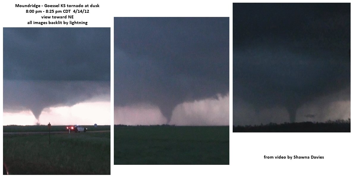
Much has been written and many photos posted from last week's major outbreak of tornadoes on Saturday April 14, 2012. The most damaging and deadly tornadoes turned out to be after dark, including the EF3 tornado that hit the southeast side of Wichita KS ($140 million damage), and the EF3 tornado that struck the Woodward OK area around midnight killing 6 people.


Tornadoes after dark are particularly dangerous because they are difficult to see, and many people are asleep and not aware of what's approaching. My paper with Andy Fischer about nighttime tornado environments (see here) shows that tornadoes after dark in the Plains occur when both CAPE and especially low-level shear are large after sunset. Just as important, storms after dark need to remain relatively "surface-based" (lifted parcels of air near the ground that feed updrafts are able to move upward with little resistance). This occurs when surface temperatures don't cool much and surface dew points remain steady or even increase, keeping convective inhibition (CIN) relatively small, rather than the more typical scenario where storms become "elevated" above a cool stable layer near the ground when surface temperatures cool significantly after sunset.


Obviously, with this big an outbreak, it is very fortunate that more people weren't killed. I can't emphasize enough the excellent forecasts and outlooks several days in advance, as well as pin-point warnings and media coverage during the event.
When I get time this coming week, I'll do a post about the setting that generated tornadoes in Minnesota yesterday (4/21/12) with early spring northwest flow aloft and 40's F dew points at the surface (very unusual!).
No comments:
Post a Comment